
The collapse of an elevated section of Interstate 95 in Philadelphia has highlighted the importance of mapping and navigations group Waze Inc. to the U.S. road network.
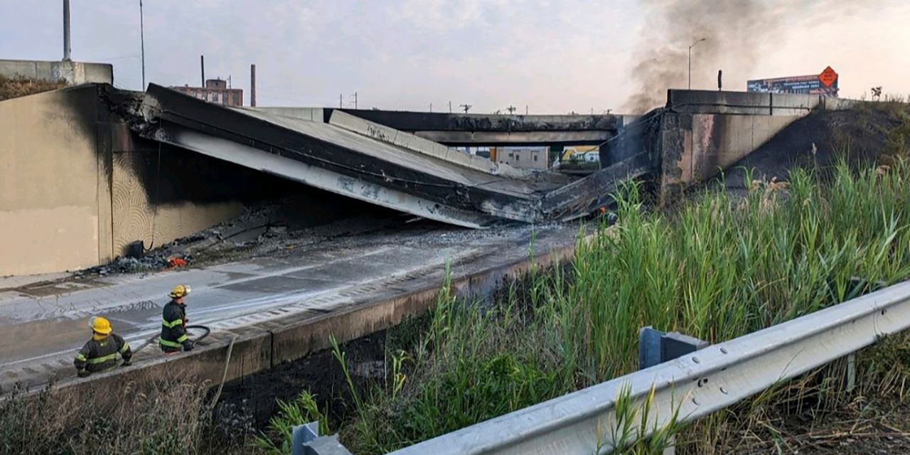
Several lanes of I-95, a key highway that stretches from Miami to Maine, collapsed Sunday after a tanker truck caught fire underneath an overpass. A body was recovered from the wreckage on Monday.
The collapse has resulted in the closure of a stretch of the highway, which carries on average 160,000 vehicles per day, around 8% of which are trucks.
Related: I-95 collapse could impact retailers’ holiday season plans and freight rates, experts warn
Waze, which was acquired by Alphabet Inc.’s
GOOGL,
GOOG,
Google in 2013, has been working with the Pennsylvania Department of Transportation for a number of years, with the department joining the Waze for Cities public partnership program in 2015. Waze for Cities is described as a zero-cost two-way data exchange for public-sector agencies that aims to reduce traffic and inform infrastructure decisions.
PennDOT provides Waze with a real-time feed of alerts and road-closure information. Thanks to that feed, Waze was able to quickly make authoritative updates to its map as the disaster unfolded, MarketWatch has learned. The first closures were posted in the feed by 6:40 a.m. Eastern time on Sunday and appeared on the Waze map minutes later. Waze’s local Map Editor Community of volunteers who update the Waze map in real time added additional details in the hours that followed. And as PennDOT develops a response to the collapse, Waze is working with the agency to keep the Waze Map updated with street-configuration or direction changes.
Speaking at a press conference at the collapse site Monday, U.S. Transportation Secretary Pete Buttigieg discussed the importance of Google and Waze in the wake of the I-95 section collapse. “There’s going to be a lot…
Read the full article here


